- English
- हिन्दी
Languages:
This site is created using Wikimapia data. Wikimapia is an open-content collaborative map project contributed by volunteers around the world. It contains information about 32490125 places and counting.
Learn more about Wikimapia and cityguides.
Sangrah
tehsil Sangarh, District Sirmaur, Himachal Pradesh.
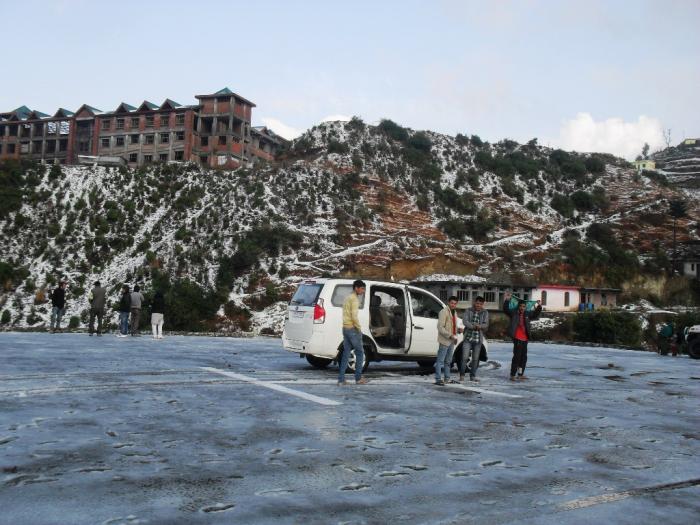
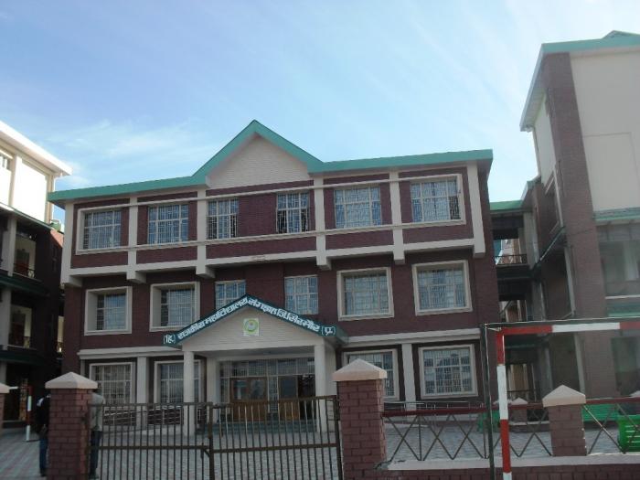
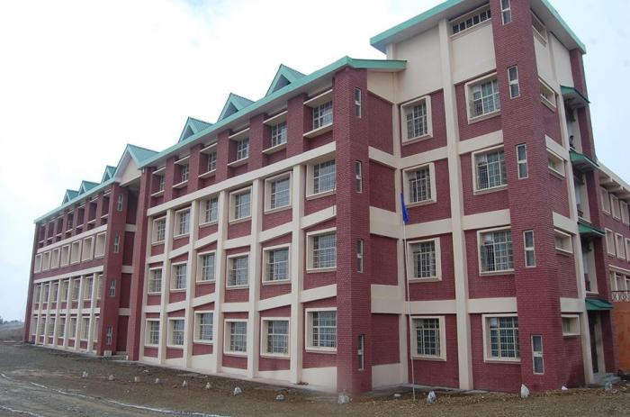
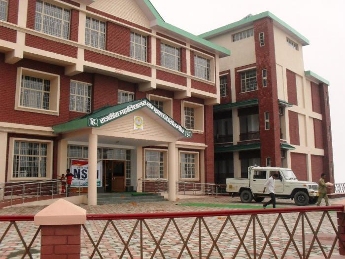
Sangrah is a village and Gram Panchayat and also a Sub-Division of District Sirmour, Himachal Pradesh. Sangrah village is about 358 K.M. from Delhi, 161 K.M. from Shimla, 152 K.M. from Chandigarh, 65 K.M. from Rajgarh, 63 K.M. from Nahan and 25 K.M. from Renuka Ji (By Road). Government Degree College Sangrah, SDM Office,Tehsil Office, BDO, HDO, ADO, BSNL Exchange, Police Station, Old House of National Awarded Kinkri Devi, Jawga Hils, Jawga Helipad, Rawlagarh Fort, Brah Forest, Bhagwan Parshuram Music School, Lord Vijat and Shiva Temple are the main attraction/Place of Sangrah. There are 41 Gram Panchayats in Sangrah Development Block and Sub-Division. About 21 Panchayats of Sangrah Block has been covered with the Snow during winter season. Churdhar Hills, Jablog, Piulilani, Haripurdhar, Gattadhar, Balayandhar, Sunderdhat, Brah-Rupee, Jawga Hills, Choras and Diwri-Khrahan are the Snow bounded Area/ Hills/ Panoramic Valley/ Village/ Forest of Sangrah Block in winters. Population of Sangrah Sub-Division is abuut 70,500 and height is 6,700 Feet. Budechhu, Dhakuli, Nati, Geeh, Thoda Fight and Purua are the Famous Folk Dance of this area.
tehsil Sangarh, District Sirmaur, Himachal Pradesh.
Sangrah is a village and Gram Panchayat and also a Sub-Division of District Sirmour, Himachal Pradesh. Sangrah village is about 358 K.M. from Delhi, 161 K.M. from Shimla, 152 K.M. from Chandigarh, 65 K.M. from Rajgarh, 63 K.M. from Nahan and 25 K.M. from Renuka Ji (By Road). Government Degree College Sangrah, SDM Office,Tehsil Office, BDO, HDO, ADO, BSNL Exchange, Police Station, Old House of National Awarded Kinkri Devi, Jawga Hils, Jawga Helipad, Rawlagarh Fort, Brah Forest, Bhagwan Parshuram Music School, Lord Vijat and Shiva Temple are the main attraction/Place of Sangrah. There are 41 Gram Panchayats in Sangrah Development Block and...
 Reduce description
Sangrah on the map.
Recent city comments: